
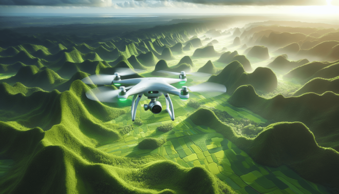
What are the best drones for aerial mapping?
Have you ever wondered what the best drones are for aerial mapping? Whether you’re a professional surveyor, a hobbyist drone enthusiast, or someone in between, finding the right drone for aerial mapping can make all the difference in the quality and accuracy of your mapping data. In this article, we will explore some of the top drones on the market for aerial mapping, their key features, and why they might be the best choice for your mapping needs.
Understanding the Needs of Aerial Mapping
Before diving into the specifics of which drones are the best for aerial mapping, it’s important to understand the key requirements and challenges of this particular application. Aerial mapping involves capturing high-resolution images or videos of a large area from above, typically using drones equipped with cameras or sensors.
When it comes to aerial mapping, two key factors need to be considered: image quality and flight time. High-quality images are crucial for creating accurate maps and models, while longer flight times allow drones to cover larger areas in a single mission. Additionally, factors such as GPS accuracy, flight stability, and payload capacity play a significant role in determining which drone is best suited for aerial mapping.
Image Quality
The image quality of a drone is determined by its camera specifications, such as resolution, lens quality, and sensor size. For aerial mapping, drones with high-resolution cameras and the ability to capture images in RAW format are preferred, as they provide more detail and flexibility in post-processing. Look for drones with cameras capable of capturing images at least 20 megapixels or higher for optimal mapping results.
Flight Time
Flight time is another essential factor to consider when choosing a drone for aerial mapping. Longer flight times allow drones to cover more ground in a single flight, reducing the number of battery swaps and overall mission time. Look for drones with flight times of 30 minutes or more to maximize mapping efficiency.
GPS Accuracy
Accurate GPS positioning is critical for precise mapping results. Drones equipped with high-precision GPS receivers can maintain stable flight paths and accurately geo-tag images for mapping applications. Look for drones with dual GPS systems or RTK (Real-Time Kinematic) capabilities for enhanced GPS accuracy.
Flight Stability
Flight stability is crucial for capturing sharp and clear images during aerial mapping missions. Drones with advanced flight control systems, such as GPS-assisted flight modes and obstacle avoidance sensors, can maintain stable flight paths even in challenging weather conditions. Look for drones with intelligent flight modes, such as waypoint navigation and orbit mode, to ensure smooth and consistent mapping results.
Payload Capacity
The payload capacity of a drone refers to the maximum weight it can carry, including cameras, sensors, and other accessories. When choosing a drone for aerial mapping, consider the weight of your desired payload and ensure that the drone can safely carry it without compromising flight performance. Look for drones with modular payload systems or customizable mounting options to accommodate a variety of mapping sensors and cameras.
Top Drones for Aerial Mapping
Now that we have covered the key requirements of aerial mapping and what to look for in a drone, let’s explore some of the best drones on the market for this specific application. These drones are renowned for their image quality, flight time, GPS accuracy, flight stability, and payload capacity, making them ideal choices for professional surveyors, mapping professionals, and drone enthusiasts alike.
DJI Phantom 4 RTK
The DJI Phantom 4 RTK is a popular choice for aerial mapping professionals due to its high-precision RTK capabilities and advanced imaging features. Equipped with a 1-inch 20MP CMOS sensor and a mechanical shutter, the Phantom 4 RTK captures sharp and detailed images suitable for mapping applications. The drone’s RTK module provides centimeter-level positioning accuracy, making it ideal for survey-grade mapping projects.
The Phantom 4 RTK boasts a flight time of up to 30 minutes and features intelligent flight modes such as TapFly and ActiveTrack for automated mapping missions. Its robust GPS system and obstacle avoidance sensors ensure stable and safe flight operations, even in complex environments. With a payload capacity of up to 300 grams, the Phantom 4 RTK can easily accommodate mapping cameras and sensors for a wide range of mapping applications.
senseFly eBee X
The senseFly eBee X is a professional fixed-wing drone designed for large-scale aerial mapping projects. With its 24MP RGB camera and optional multispectral and thermal imaging payloads, the eBee X delivers high-quality aerial imagery for precision agriculture, environmental monitoring, and infrastructure inspection. The drone’s modular payload system allows users to easily swap cameras and sensors to adapt to different mapping requirements.
The eBee X offers an impressive flight time of up to 90 minutes and can cover vast areas in a single flight, making it ideal for mapping large and remote locations. Its advanced flight control software, eMotion, allows users to plan and execute mapping missions with ease, while its RTK module ensures centimeter-level accuracy in mapping data. The eBee X’s rugged design and quick deployment make it a reliable choice for professional mapping applications.
Yuneec H520 RTK
The Yuneec H520 RTK is a versatile hexacopter drone equipped with RTK capabilities and advanced imaging features for aerial mapping and inspection tasks. With its 20MP 4K camera and high-precision RTK module, the H520 RTK delivers sharp and detailed images with centimeter-level positioning accuracy. The drone’s stable flight characteristics and intelligent flight modes, such as Point of Interest and Journey mode, make it easy to capture mapping data with precision and efficiency.
The H520 RTK boasts a flight time of up to 28 minutes and features a modular payload design that supports a variety of mapping sensors, including LiDAR and thermal cameras. Its durable construction and weather-resistant design ensure reliable performance in challenging environments, making it suitable for a wide range of mapping applications. The H520 RTK’s user-friendly interface and intuitive flight controls make it an excellent choice for both novice and experienced mappers.
Choosing the Right Drone for Your Mapping Needs
When selecting a drone for aerial mapping, it’s essential to consider your specific mapping needs, budget, and level of expertise. Whether you’re a professional surveyor looking for a high-precision mapping solution or a drone enthusiast exploring the world of aerial mapping, there is a drone out there that can meet your requirements and deliver exceptional mapping results.
If image quality and RTK accuracy are your top priorities, the DJI Phantom 4 RTK is an excellent choice for survey-grade mapping projects. Its advanced imaging features and precise positioning capabilities make it a reliable option for capturing detailed and accurate mapping data. The Phantom 4 RTK’s user-friendly interface and intelligent flight modes also make it a suitable choice for mapping professionals of all skill levels.
For large-scale mapping projects and remote area surveys, the senseFly eBee X offers exceptional flight time and imaging capabilities for precision mapping applications. Its modular payload system and long-range capabilities make it a versatile choice for mapping professionals seeking a reliable fixed-wing drone for aerial mapping. The eBee X’s intuitive flight planning software and robust construction make it a valuable asset for mapping professionals working in challenging environments.
If versatility and ease of use are essential to your mapping needs, the Yuneec H520 RTK is a practical choice for aerial mapping and inspection tasks. With its RTK capabilities and customizable payload options, the H520 RTK offers flexibility and convenience for mapping professionals looking to expand their mapping capabilities. The H520 RTK’s stable flight performance and intelligent flight modes make it an ideal choice for mapping professionals seeking a reliable and user-friendly drone for mapping missions.
Conclusion
In conclusion, the best drones for aerial mapping are those that offer high-quality imaging capabilities, long flight times, accurate GPS positioning, stable flight performance, and versatile payload options. By understanding the key requirements of aerial mapping and choosing a drone that meets your specific mapping needs, you can capture detailed and accurate mapping data for a wide range of applications. Whether you’re a professional surveyor, a mapping professional, or a drone enthusiast, there is a drone out there that can help you take your aerial mapping projects to new heights.